 Photo by Ryan Hahler
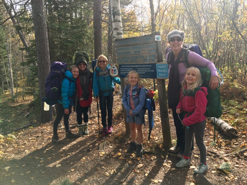
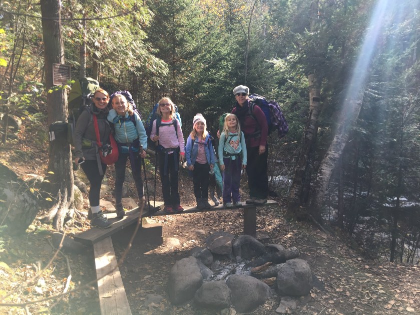
Our last backpacking trip left Hanna with a bad taste in her mouth because of the tall grass and the mileage we did, SO I thought using a little bit of positive peer pressure with Hanna in regards to hiking the trail with friends would help her want to hike. I also had to reassure her that there would not be the tall grass section and the total mileage was 4.9 miles, so that meant that we could do about 2.5 miles per day. Way easier!
We started off on Cook County Road 58 and hiked through the woods a lot of the time along the gorge. The air was potent with the scents of fall in the North – crisp, clean, pine, and leaves. We got to walk through aspen, birch, and pine.
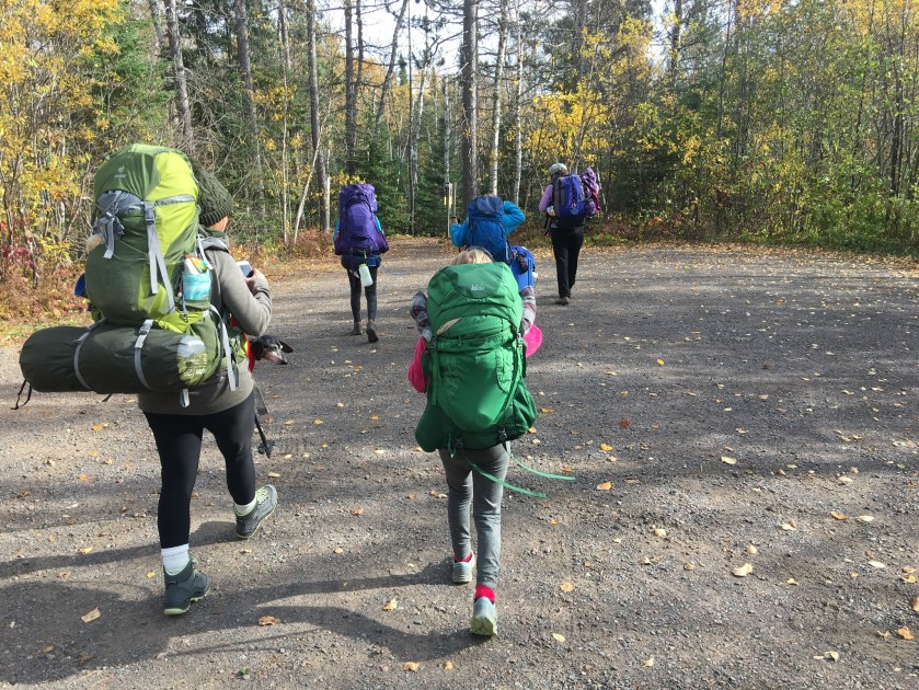 Photo by Ryan Hahler


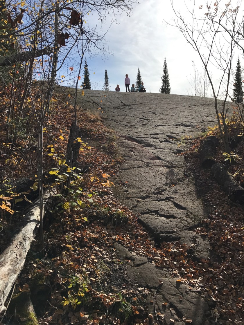
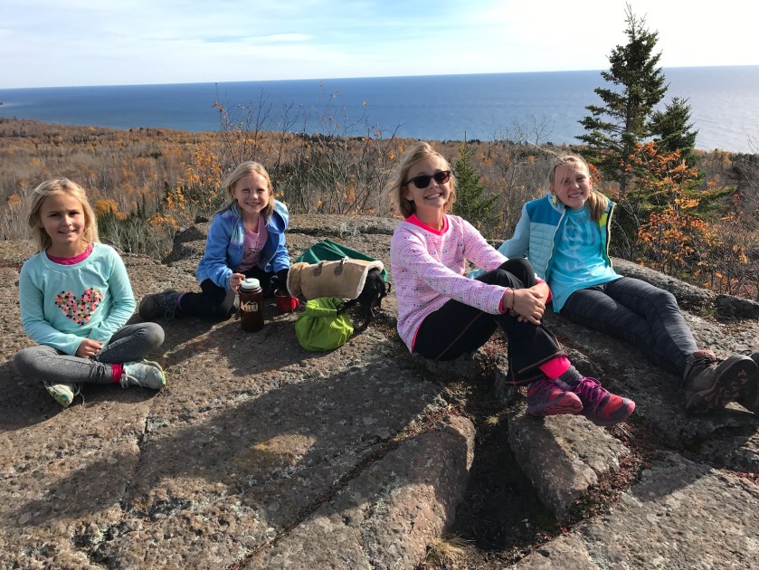
The kids found a super scenic area for a snack break. They were all enjoying themselves and thought everything was so pretty.
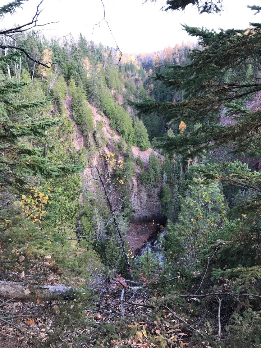
We came across Barrier Falls and you could really hear it from the trail, but it was a bit difficult to see unless you really lean. It was a bit precarious with how close you get to the edge of these cliffs while hiking, but it’s a great lesson in trust with the girls and I think great for self-confidence.
 Photo by Ryan Hahler
We had to get across Devil Track River and came across this cool bridge.
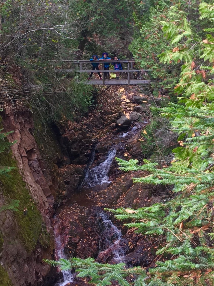 Photo by Ryan Hahler


Photos by Ryan Hahler
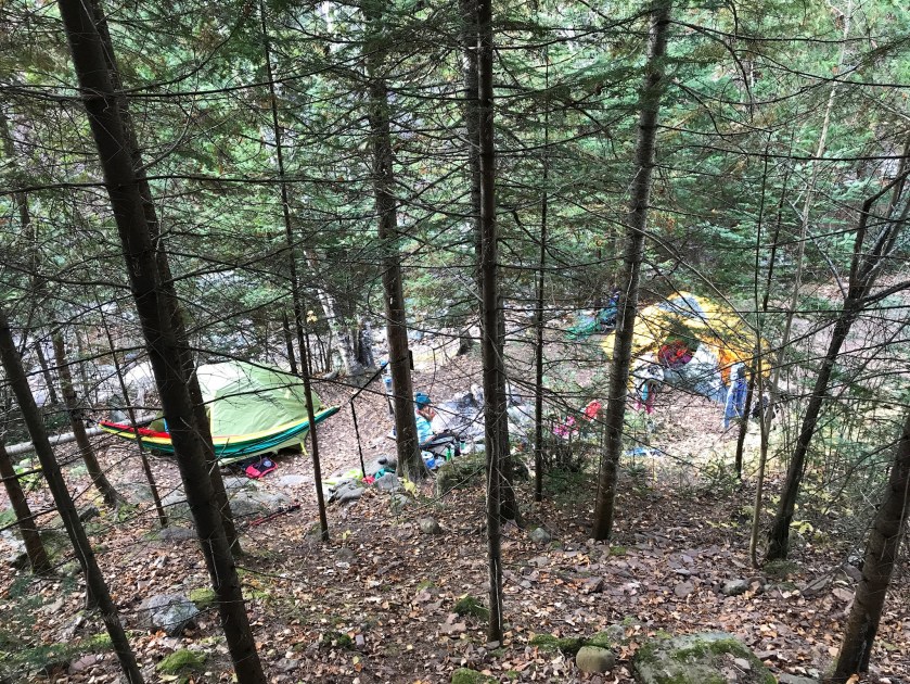
There are two areas to camp on this section of the trail. We stayed at East Devil Track Campsite. You descend to the hill to the river. This is a cozy campsite and was perfect for three tents. There was a nice firepit and Ryan had fun collecting downed trees and sticks for that. The girls found what looked like a fairy’s cave and so were speculating about that.


After dinner we explored a bit and went to this A-shaped bridge that was built in the summer of 1992. The girls had a blast throwing sticks over the top and racing those. The West Campsite was on the other side of this bridge and had a bigger area so you could fit more tents there. Ideal for a bigger group.


When we got back to our campsite, Hanna and I did not last long. We were in our tent by 7:30pm along with Oscar. Kim, Ryan, and the girls attempted to play cards but because it was so dark it was hard to see and because it was cold, it was hard to hold the cards. It was nice falling asleep to the sound of the river.
The next morning we were able to wake up slowly and take it easy. We made breakfast and hot drinks for everyone.


We were exploring the gorge and found some beautiful areas.


We packed up and headed out.


We had to hike up a lot of stairs to get out of the gorge, it was 150 steps and 200 feet elevation change.
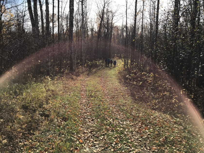 This section of the trial follows a ski trail for 2.2 miles. So it was well groomed thankfully.
We came across this .25 mile spur trail to Pincushion Mountain summit, TAKE THIS. We left our bags at the bottom and went up. We brought lunch up with us. We had great views of Grand Marais, Sawtooth Mountain, Lake Superior, and the valley.
I had a blast with everyone and really like this section of the Superior Hiking Trail. I love that we were able to do this in October and that it was so nice out.

Great family activity and well documented. The children are lucky.
LikeLiked by 1 person